

July 2019
Solar Outdoors normally runs a trip over the Fourth of July. This year, the excellent leader that plans this trip was not available; so I stepped in as a replacement. I had been to North Manitou Island once before, so I was familiar with the planning involved. Also, Solar Outdoors has a Planning Information Packet to help start me out.
North Manitou has a lot going for it in terms of a backpacking destination. There are no bears, wolves, raccoons, porcupines, or poisonous snakes. The biggest critter danger is having your food stolen by chipmunks. There are many water sources with Lake Michigan itself being a source to filter cool water from. The main trails are well maintained and easy to follow. For the most part, they are smooth and without drastic changes in elevation.
Then there are the ruins. The island was once inhabited and even boasted a city of 300 residents. There are still some structures standing on the island and other artifacts like old lumber trucks, farmhouse foundations, and fence lines can still be found. I enjoy searching for and checking out the ruins. It is kind of like being on a treasure hunt.
The most difficult part of planning for NMI is the ferry, but even that is not terrible. Manitou Island Transport operated out of the Fishtown Dock in Leland has a decent website where I booked the tickets months before the event. The ferry was well run and I found the crew to be polite and efficient. After a pleasant hour ride, we were at the island and ready to start our adventure.

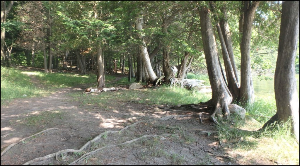
We bypassed the houses on cottage row and headed straight for the wilderness.

Backcountry camping is allowed in the wilderness area, following a few specific guidelines. We made our way about three miles to the cemetery and then cut over to the eastern shoreline to camp for the night. The eastern side has some large open fields where it is easy to find places to set up some tents.
I had hoped to see some fireworks from the mainland. We did see some flashes of light from the shoreline, but it was too far away to see anything specific.
If you get up early enough and the weather is nice, you can get a natural light show in the morning.

The next morning, we headed south to check out the Bourniques house. It is mostly intact and I was pleasantly surprised to see that it is being restored. The wooden floor on the inside was new as was some of the siding.


We continued south to see an old car slowly rusting away in the woods and then swung west to find the Anderson Homestead. There was not much left of the Anderson place, just a couple of cement foundations and the remains of an ancient tractor.
We then headed north back towards the main trail, but the side trail we had been following dwindled to nothing. Using GPS mapping, we were able to walk back to the main trail by crossing several big sunny fields.
Back on the main trail, we headed west across the island. We stopped at Fat Annie’s place, which is just a trail up a hill to a flat area with a nice breeze.
After turning north, we stopped for some great views of the Lake Michigan shoreline at Frederickson Place and to filter water at Johnson Place.

We eventually came to the former site of Crescent City. Crescent had been a logging town, providing fuel for the steam-powered ships running on Lake Michigan. It had a lumber mill, saloon, hotel, and barbershop; but nothing really remains of it today. There is a maze of trails leading to the former Crescent site and to the curved beach for which the town was named. There are many camping opportunities here by following those trails, but be careful not to get too turned around.
Crescent Beach is beautiful and a great place to swim. Just be careful when entering the water, as it can be shockingly cold and you do not want to cramp up after a day of hiking.

Crescent beach is also a great place to watch the fog roll in as the sunsets.

The next day, we headed north on what used to be the rail line for the logging train. Eventually, the trail heads east past Davenport Camp and Stormer Camp. When we got to the Pole Bridge, we had a choice: either to head left towards Lake Michigan or right towards the inland lake.
The last time I had been on the island, I had missed Lake Manitou. We decided to head in that direction. We were a little worried that the mosquitoes would be bad on the interior of the island, but they were not.
I was excited to see an area of the island that I had not visited before and we were not disappointed. Lake Manitou is gorgeous, with an almost parklike area by the beach. A few of us went swimming and the water was much warmer than Lake Michigan.

It had been a short hiking day, so some of us took a day hike to the boathouse using the main trails (a six-mile round trip journey). Then later another group of us hiked to the boathouse using a secondary trail along the lake (a mile round trip journey). The lake trail was fun, but the boathouse was nothing special.
Our last morning, we were up and moving pretty early. It was a short three-mile hike out, but we wanted to make sure we were there in plenty of time to catch the ferry.
There are some cool things to see by the docks, and we had purposely skipped them on our way out. We had the time to walk around and enjoy them now. There are several cottages here leftover from another time. Some of these appear to be getting some renovations (or upkeep). There are also some buildings left over from the life-keeping station.

Some of us took a dip in the cold waters of Lake Michigan. I stayed in for about 10 minutes and then dressed in the cleaner of my two shirts. I felt like a new man, refreshed and less stinky.
The ferry picked us up and deposited us safely back at the Fishtown docks, where we found some ice cream with freshly made waffle cones. (MMmMMMMmm Ice Cream!)
Thanks for Reading!

Dave Warneke
If you have an event or trip that you’d like featured on the SOLAR Ray Blog, please email solarcommunications@solaroutdoors.org